See other good rides in the area
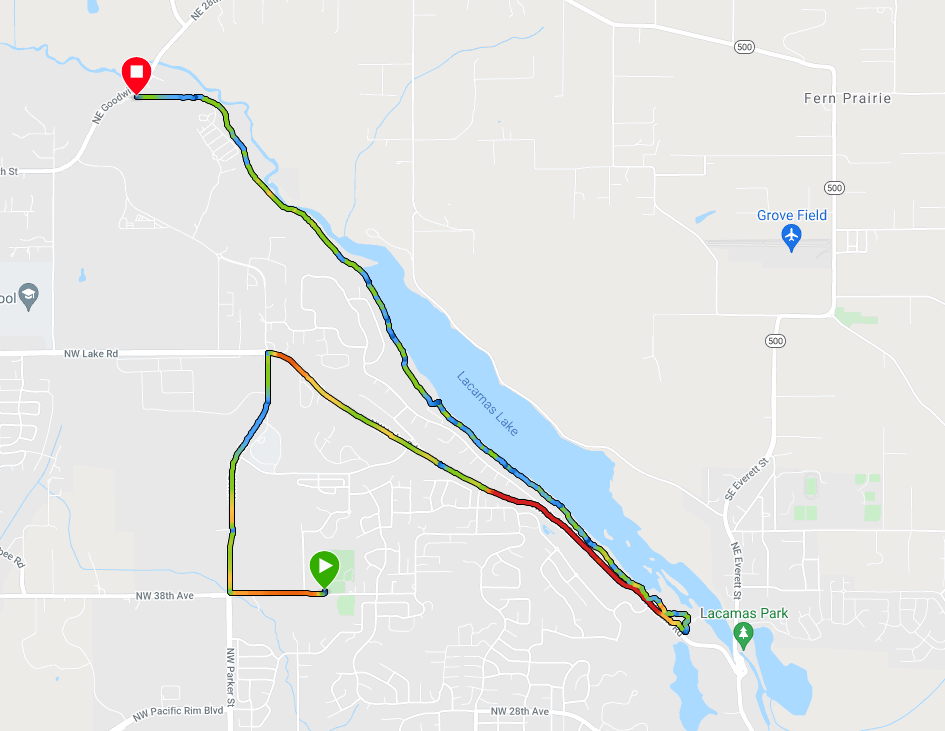
Distance: 14 miles (7.01 miles out & back)
Total Ascent: 350 ft
Starting point south: Grass Valley Park https://goo.gl/maps/vQ79r7P5wW5XD7uw5
Starting point north: Goodwin Rd. lot https://goo.gl/maps/z6eyimMf9jum6uGu8
Mid-point alternate parking: Lacamas Heritage Park https://goo.gl/maps/WD3N3wfeNGwZXkb36
Route Summary
- A couple of non-trivial hills might make this ride unsuitable for some
- The Lake Rd. hill requires riding in traffic for a bit, not the best route
- Lacamas Lake trail is crowded on nice days
- North end parking lot fills up quickly, use either the mid-point lot or Grass Valley Park
- Easy to add distance on the south end through the neighborhoods
- If the Lacamas trail is empty, you can just ride it out – back – out – back for 14 miles (it’s 3.5 miles from end to end)
- Bathrooms and water available at all 3 parking lots, sometimes closed in winter
Pictures
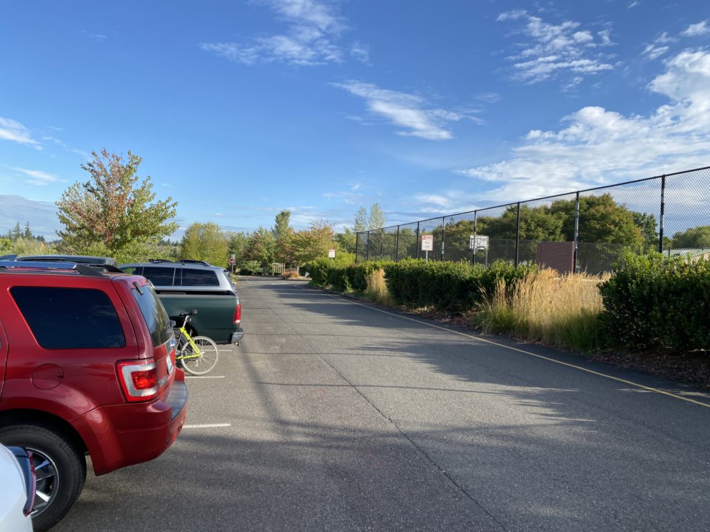
Grass Valley Park parking 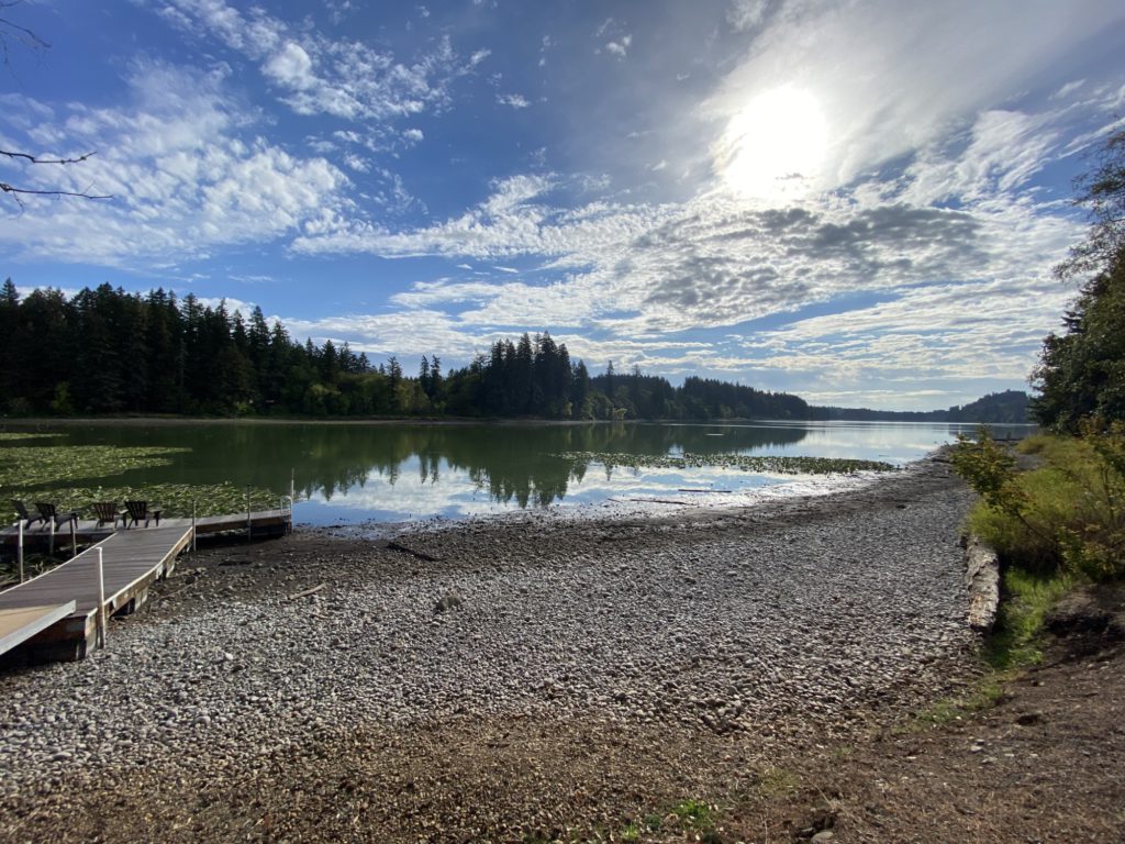
Lacamas Lake 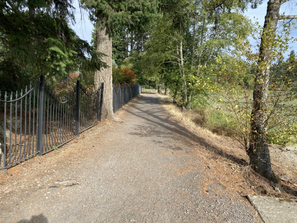
Lacamas Lake trail 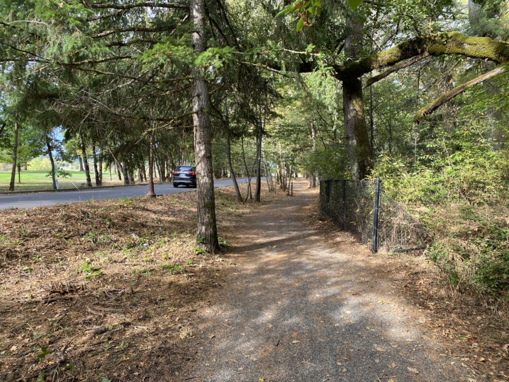
Lacamas Lake trail west end 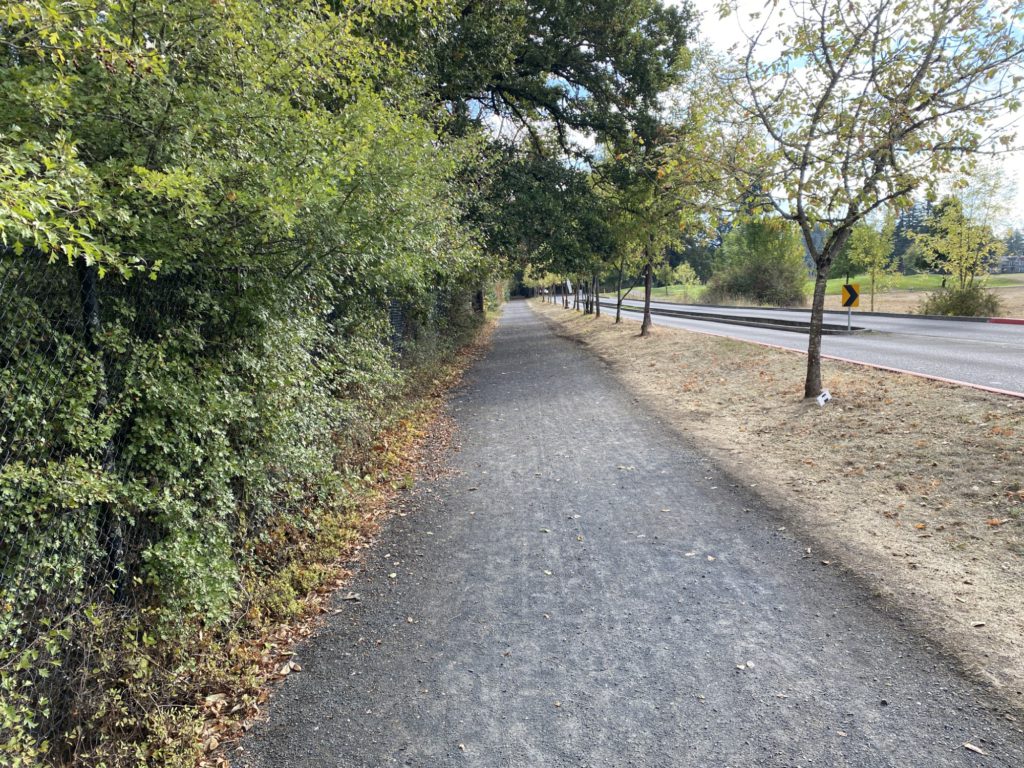
Lacamas Lake trail west end 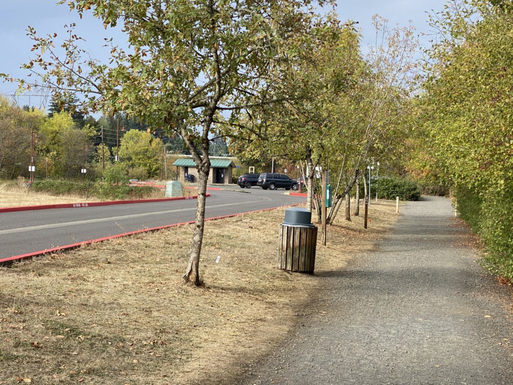
Lacamas Lake trail west end parking 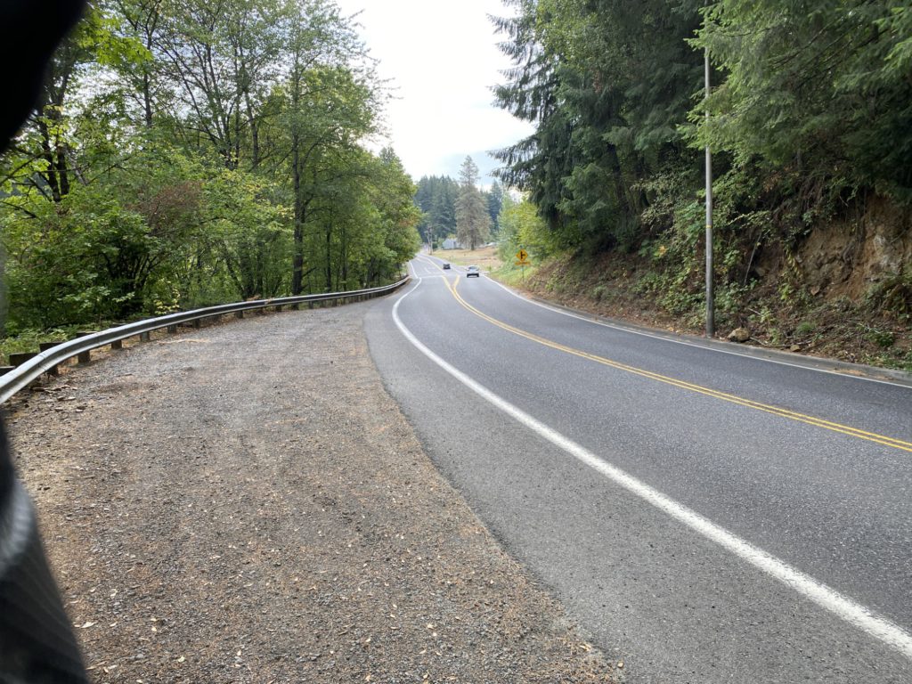
Lake Rd. hill, bike lane on uphill side only 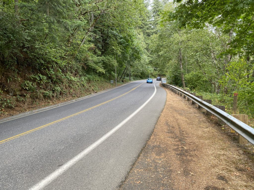
Lake Rd. hill 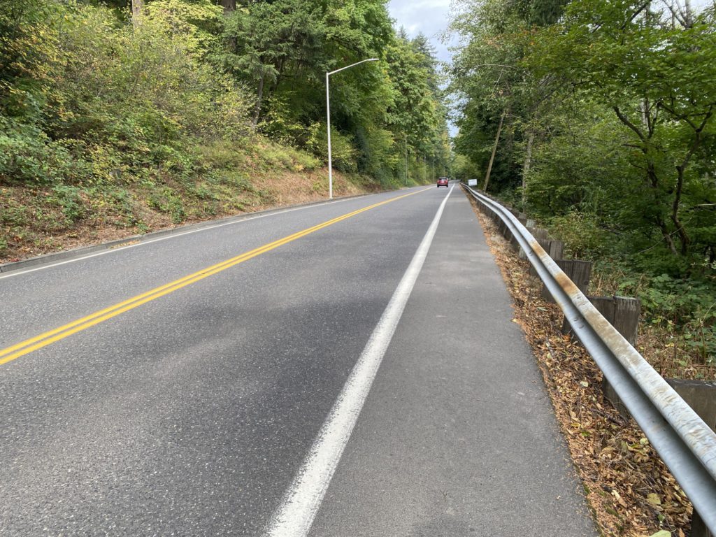
Lake Rd. hill 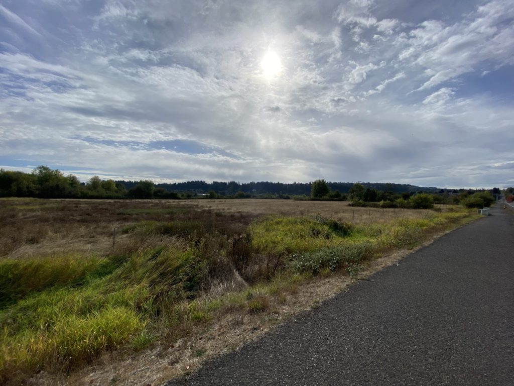
Near Grass Valley Park 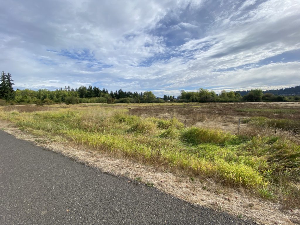
Near Grass Valley Park 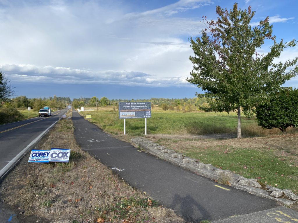
Near Grass Valley Park 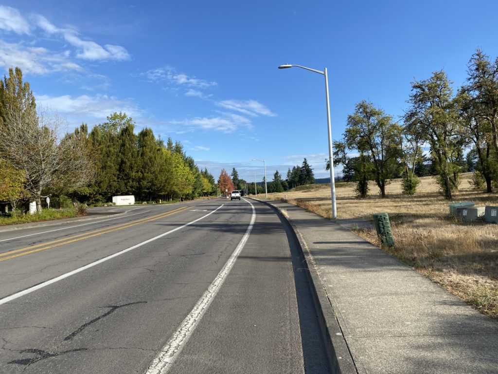
Near Grass Valley Park 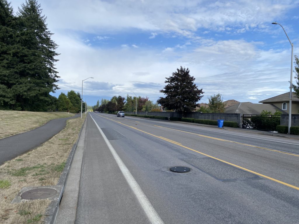
Near Grass Valley Park 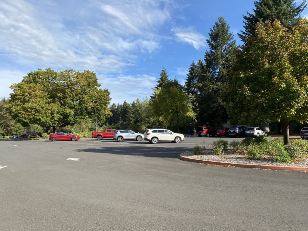
Lacamas boat ramp parking 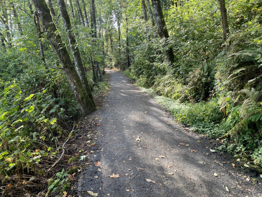
Lacamas Lake trail 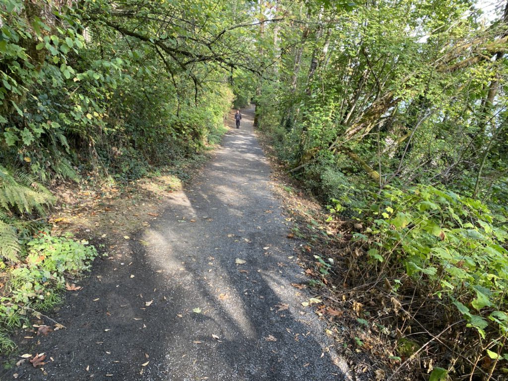
Lacamas Lake trail 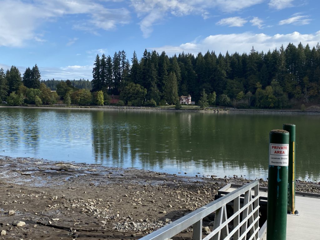
Lacamas Lake trail